The forgotten cultural landscape of Bay of Kotor 2018_07_Kusevic_Bogdan_master_thesis_booklet | Page 70

ARCHIVE MAPS SOURCE
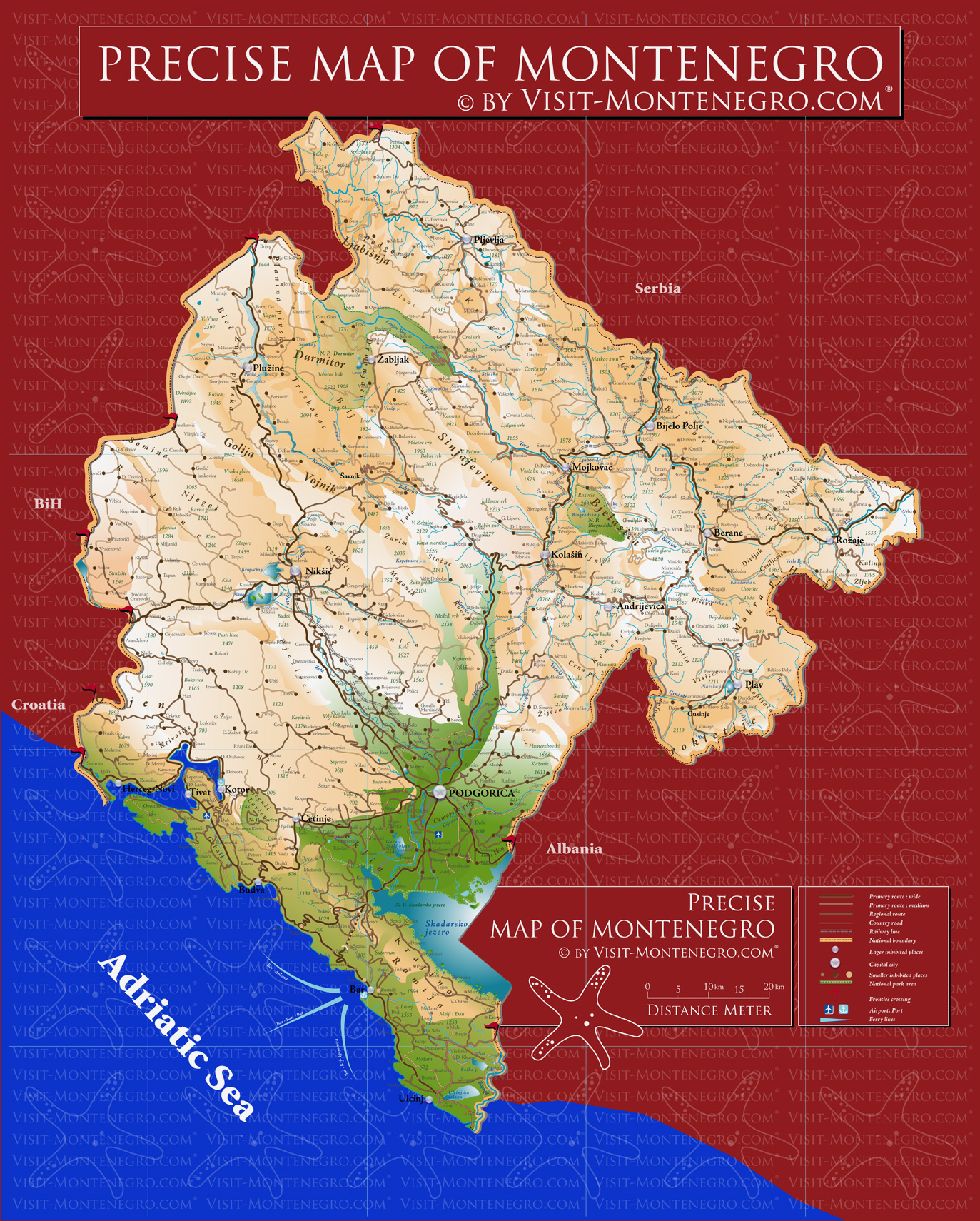
MAPS USED IN RESEARCH ( Internet source )
• Grimani , Giouanni . Dissegno topografo del Canale di Cattaro con il confine de Castelnovo e Risano . 1701 . Map . Retrieved from the Library of Congress , < https :// www . loc . gov / item / 2011593033 /
• Plano del Golfo de Cattaro . [ 17-- ?, 1700 ] Map . Retrieved from the Library of Congress , < https :// www . loc . gov / item / 90683810 / >.
• David Rumsey Historical Map Collection | The Collection ; ( 1693 ) Disegno Topografico del Canale di Cattaro , Montenegro ; Coronelli , Vincenzo ( 1650- 1718 ), < https :// www . davidrumsey . com / luna / servlet / detail / RUMSEY ~ 8 ~ 1 ~ 303177 ~ 90060745 : Disegno-Topografico-del-Canale-di-C >
• Nuova carta topografica delle Bocche di Cattaro , Monte-Negro e parte dell ’ Albania / delineata dal sig C . T . S . per Lodovico Furlanetto . | Furlanetto , Lodovico ; Venezia : per Lodovico Furlanetto , 1785 . National and University Library in Zagreb , < https :// www . europeana . eu / portal / en / record / 9200352 /_ object _ info _ id _ 11523 . html >
• Herceg . Novi . Boka Kotorska bay . < http :// www . abiertoporvacaciones . com / balcanes / maps / hercegnovi _ boka _ kotorska _ bay . jpg >
• Wandermap - Your hiking routes online . < http :// www . wandermap . net / en / route / 3442525-vrmac / >
• Real life map collection . Mappery . Montenegro-precise-Map . < http :// www . mappery . com / maps / Montenegro-precise-Map . jpg >
• Carte des Bouches de Cattaro et du Monténégro / par Max de Traux ; Gravé par C . Stein | Gallica . < http :// gallica . bnf . fr / ark :/ 12148 / btv1b84933060 / f1 . item . zoom >
• Cattaro . Ragusa . von . Reilly . < https :// upload . wikimedia . org / wikipedia / commons / 7 / 7d / Cattaro _ Ragusa _ von _ Reilly _ 1789 . jpg >
• STATO DA MAR - Le Relazioni dei Rettori . Nouvelle carte de la partie occidentale de la Dalmatie , dressée sur les lieux à Venise par P . Santini , Venezia , chez M . Remondini , 1780 . < http :// www . statodamar . it / mare . php ? ly = 1 & ar = 4 & sid = >
• Map of the Gulf of Kotor ( Boka Kotorska ) and Cattaro ( Kotor ) town plan , 1929 . < https :// www . discusmedia . com / maps / montenegrin _ town _ plans / 4592 / >
• Sattelite maps source < DATA SIO , NOOA , U . S . NAVY , NGA , GEBCO , CNES / Airbus >
• Natural and Culturo-Historical Region of Kotor . UNESCO . Maps < http :// whc . unesco . org / en / list / 125 / multiple = 1 & unique _ number = 2122 >
• Real life map collection . Mappery . Boka Kotorska Bay and Herceg Novi Tourist Map - Herceg Novi Montenegro < http :// www . mappery . com / map-of / Boka-Kotorska-Bay-and-Herceg-Novi-Tourist-Map >
70